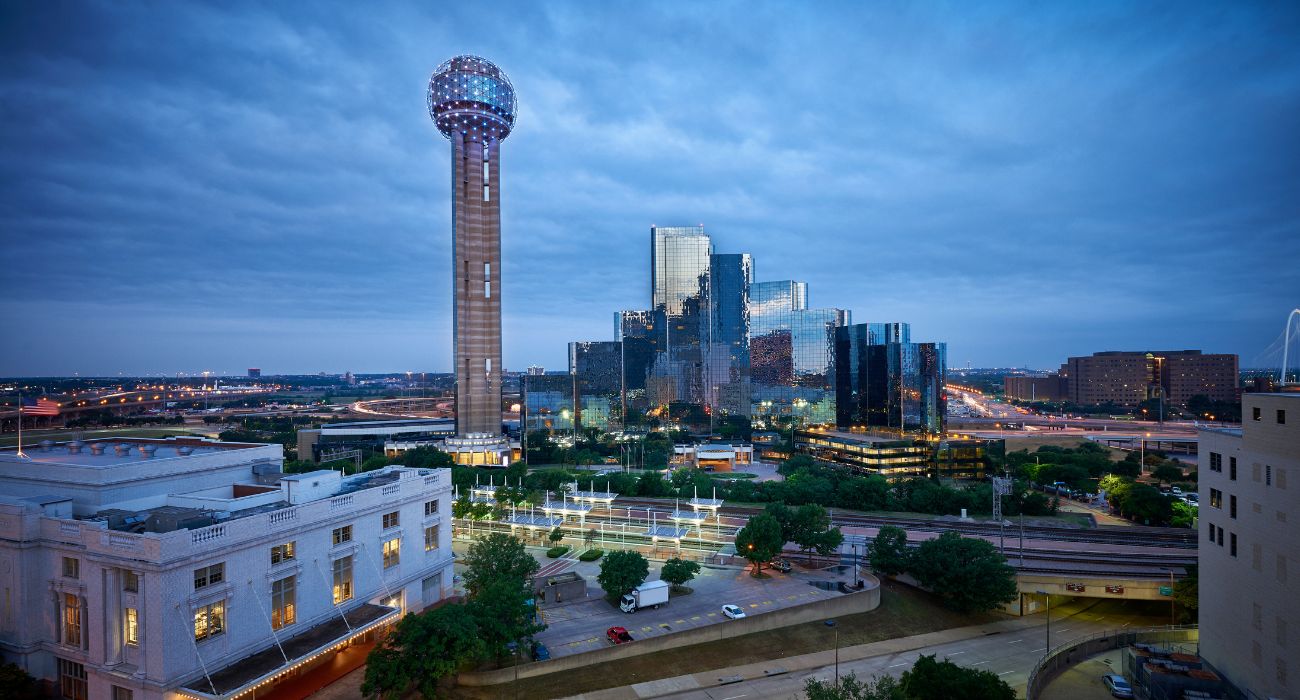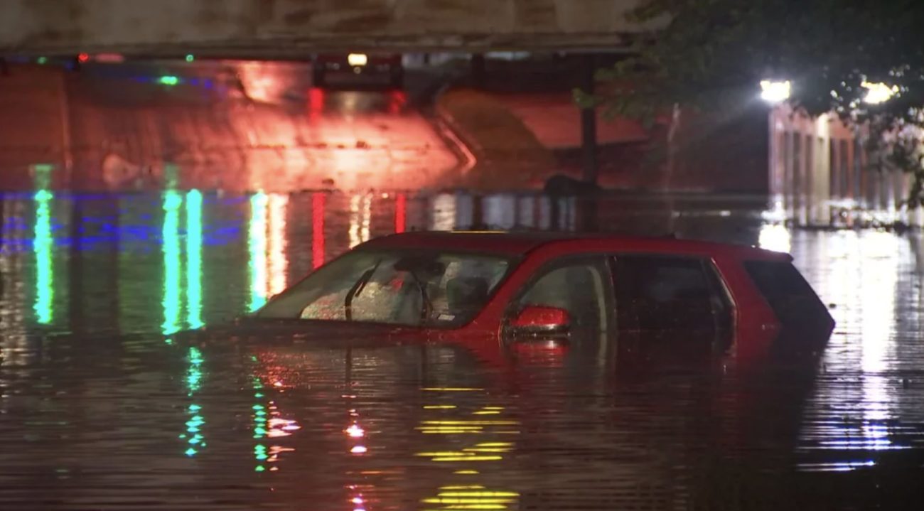
Heavy rainfall over Sunday night resulted in flash flooding in many areas across the metroplex on Monday, submerging vehicles and turning streets into rivers.
What the National Weather Service (NWS) has called a “multi-day heavy rainfall event” began the evening of August 21 and continued through the night and into the next morning, making for a soggy and dangerous commute for many workers on August 22.
At DFW Airport, a record-breaking 3.01 inches of rain was recorded in just one hour on Monday. Overall, nearly 10 inches of precipitation was recorded on the east side of Dallas in two days, closing in on the record for the wettest August in the DFW area, set in 1915, of 10.33 inches.
The rainfall totals are considered a 1-in-1,000-year flood in some areas, meaning that the likelihood of it happening in any given year is .1%.
The Fort Worth Fire Department reported Monday afternoon that it had responded to 133 high-water calls since 10 p.m. Sunday.
DFW International and Dallas Love Field Airports both saw a sharp rise in flight delays and cancellations as the rain moved through North Texas. DFW has reported more than 140 flight cancellations and 600 delays. Love field has reported 72 flight cancellations and 55 delays thus far.
All of North Texas remained under a flood watch Monday morning, with areas along the I-20 corridor under a flash flood warning, the NWS tweeted.
As the rain cleared out of the North Texas area, the NWS issued a flash flood watch for Central Texas.