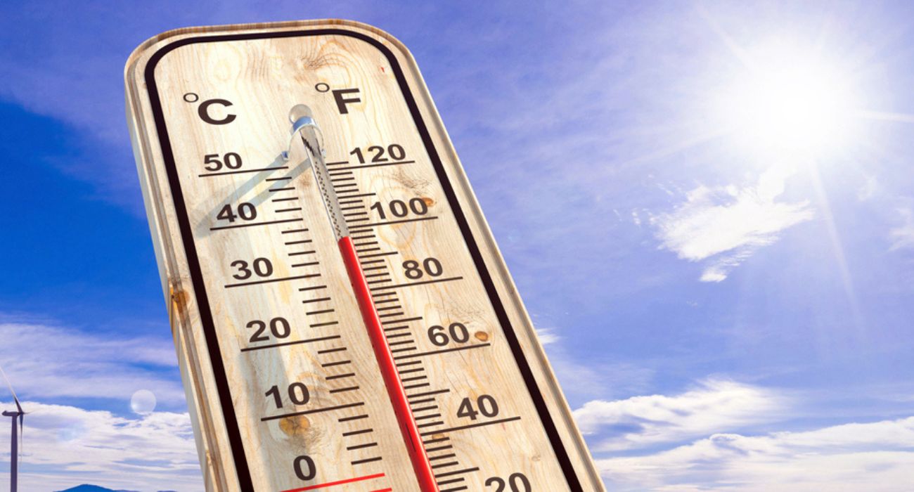
Weather thermometers are expected to hit the triple-digit mark again on Thursday and Friday before leveling off to the high 90s for the weekend.
The National Weather Service has issued an excessive heat warning for the DFW area for September 7 until 9 p.m. The weather conditions are expected to be sunny and hot, with a high of 106 degrees on the day. The heat index is expected to hit 109.
Following Wednesday’s record high of 105 degrees for the date, DFW could set another weather record on Thursday, according to Monique Sellers, a meteorologist with the NWS. The previous record high temperature for September 7, set in 2012, was 104 degrees.
“In addition to that, we’re also watching our record-high low temperatures. As of earlier this morning, it looks like the low at DFW was 81, and the record is 79,” Sellers told The Dallas Express. “So as long as we don’t get below that before the end of the day, it looks like we’ll be setting another record there as well.”
Friday is not expected to bring any cooler temperatures. The National Weather Service in Fort Worth forecasts a mostly sunny day for September 8, with a 20% chance of showers and thunderstorms. Highs for the day are expected to top out at 107 degrees, with a heat index of 108.
However, overnight, the temperatures will drop into the upper 70s, paving the way for highs in the upper 90s on Saturday and Sunday. Saturday will again be mostly sunny, but there is a 30% chance of rain in the afternoon.
Though cooler than the previous two days, the expected high temperatures on Saturday and Sunday are still above average for this time of year. Average high temperatures in September range from the low 90s near the beginning of the month to the mid-80s near the end of the month.
The small amounts of rainfall anticipated for Friday or Saturday will not be enough to alleviate the ongoing drought conditions in the metroplex, according to Sellers.
“Unfortunately, it is still going to be a little bit more on the isolated to scattered side of things, at least initially. So not necessarily everybody will get rain, but we do have rain chances at least through Saturday night,” said Sellers.
Drought conditions have worsened over the past week, according to the NWS.
“Normal precipitation for January 1 through September is 27.27 inches, and right now, we’re sitting at 15 inches for the year,” said Sellers.
Lightning produced by the weekend’s scattered showers and storms could potentially spark wildfires in the area because of the dry conditions.
Citizens are advised to remain weather aware.