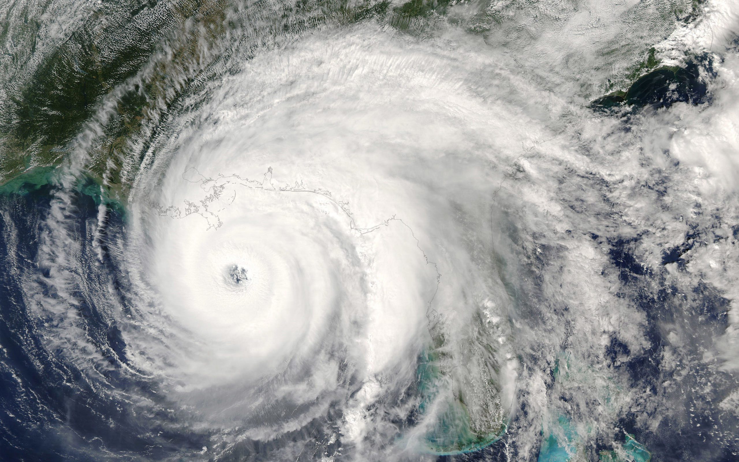
On Monday, residents living on the Texas coast prepared for the arrival of Hurricane Nicholas. Just in time, residents readied for heavy rain and high winds with sandbags, storing items away, getting gas and needed supplies.
On Tuesday at 1 a.m., Hurricane Nicholas touched down, hitting landfall in Matagorda, Texas. Officials were forced to close the only road from Matagorda to Matagorda Beach, Texas. The Category 1 hurricane arrived with winds from 75 mph to 95 mph. The storm knocked out power to more than 500,000 residents in Southeast Texas and Houston.
As Hurricane Nicholas continued to move through the state, Deer Park experienced close to ten inches of rain with Houston experiencing 50 mph winds.
Currently, a tropical storm warning is in effect for High Island, Texas through Cameron, Louisiana with forecasters projecting the hurricane will slowly wind down from Wednesday into Thursday.
However, Hurricane Nicholas still poses a threat, with heavy rains from 5-10 inches and flooding projected for eastern Texas, Louisiana and Mississippi through early Thursday.
The National Weather Service has issued flash flood warnings for the areas of Beaumont, Texas, through Lake Charles, Baton Rouge and New Orleans, Louisiana, as well as Biloxi, Mississippi, and Mobile, Alabama.
Hurricane Nicholas comes at a dangerous time as the area is still trying to recover from Hurricane Ida, specifying Louisiana who experienced thousands of power outages and destroyed structures. While Texas experienced Ida as a tropical storm, some drains are still blocked which can lead to an increase in roadway floods.
“Soils have not yet recovered from Hurricane Ida a couple weeks ago in eastern Louisiana,” the Weather Service stated. “These areas are currently receiving heavy rainfall which is expected to continue … priming soils for flooding, and Beaumont/Port Arthur/Lake Charles can be particularly sensitive to flash flooding, thus the High Risk.”


