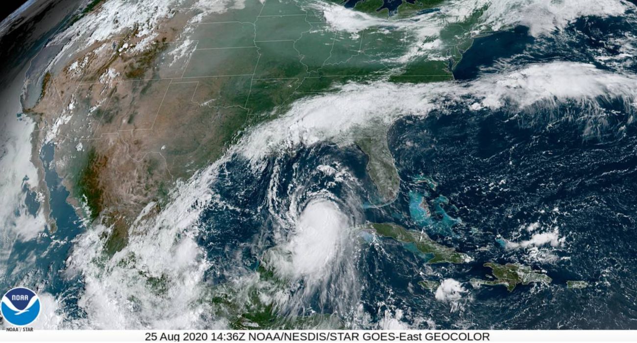
In the state of Texas, hurricane season reached its peak on September 10; it typically lasts until the end of October.
Despite predictions from forecasters, this year’s hurricane season has not been nearly as active as expected, Space City Weather reported. As of Monday, two tropical waves, each with only a 20% potential to become hurricanes, were being tracked by the National Hurricane Center.
The 2022 hurricane season has only seen five storms large enough to be named so far, KIII TV reported. In June, Texas experienced two Tropical Storms, Bonnie and Alex. July saw Tropical Storm Colin, according to KIII TV. In early September, two named hurricanes, Earl and Danielle, dissipated before making landfall.
John Nielsen-Gammon, a climatologist and professor at Texas A&M University, shared in August that hurricane season typically sees the most activity at the start of September.
Nielsen-Gammon told Texas A&M Today, “The thing is, it’s almost always quiet through early August. Hurricane activity doesn’t ramp up until mid-August and doesn’t peak on average until early September.”
This hurricane season is following one of the hottest Texas summers on record, according to Texas A&M. The hot temperatures were largely caused by La Niña conditions still seen in the Pacific Ocean.
These conditions are expected to continue throughout the rest of the year, Nielsen-Gammon stated, leading to more droughts throughout the state. While La Niña can lead to more hurricane activity, these kinds of storms are unlikely to ease any Texas droughts, he said.
Nielsen-Gammon told the university publication that the rainfall from hurricanes is typically rain that would have hit the state at some point anyway.
“Sure, someplace might be lucky, or more accurately, unlucky enough to experience a hurricane, but a couple hundred miles away, it might not rain at all,” he said. “Sometimes the weather outside the reach of a hurricane is clear and dry, as air pumped upward within the eyewall spreads out and slowly sinks back down.”
Weak cold fronts could be more beneficial for distributing rain in Texas, according to Nielsen-Gammon, and effectively remedy drought conditions.
“Weak and slow-moving fronts help trigger thunderstorms that could provide widespread drought relief, or at least stop the drought from getting worse,” he told Texas A&M Today. “But La Niña seems ready to last through the rest of the year, meaning that the weather is likely to turn dry again before very long.”
Continuing La Niña conditions could also lead to more storm activity as the hurricane season in Texas continues. These more intense conditions allow for the formation of hurricanes in the Atlantic, Nielsen-Gammon shared.
“With thunderstorms pushed away from the eastern Pacific Ocean comes less wind shear over the tropical Atlantic. This allows hurricanes to develop and intensify without being ripped apart by different winds at different altitudes. This is one of the key factors leading to the expectation of an active Atlantic hurricane season developing sooner or later,” he said.
The typical hurricane season has 61% of all storms being formed in August and September. In early August, the National Oceanic Atmospheric Association (NOAA) expected 14 to 21 storms would be named this year.


