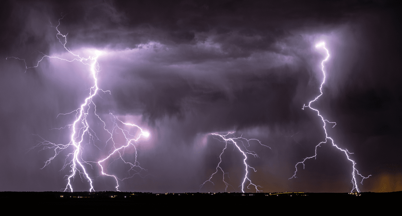
The National Weather Service in Fort Worth predicts the arrival of strong to severe storms across the North Texas region starting Friday evening.
NWS forecasted breezy and cloudy conditions earlier this morning, with temperatures in the 50s and a rise into the 60s and 70s by the afternoon. However, moisture coming from the Gulf of Mexico and an approaching upper disturbance are expected to trigger showers and isolated storms in the region by the afternoon, according to the latest update.
Meteorologists predict that these storms could grow to “marginally severe levels,” with the primary hazards being gusty winds and hail.
More severe storms capable of producing damaging downburst winds, flooding, and isolated tornados will be possible from the evening to the overnight hours west of the metroplex. These conditions are expected to last until Saturday morning.
“Initially, a few strong to severe storms with primarily hail are possible across the western counties. Some locally heavy rainfall will be possible across much of Central into East Texas overnight and Saturday where isolated totals could approach 2 inches,” reads NWS’s website. “Some minor flooding will be possible during this time.”
The main storm event in the DFW is expected to occur between midnight and 4 a.m. However, the most severe weather is expected to remain west of the metroplex.
A cold front is expected to bring “more seasonable temperatures” to North Texas on Sunday, with highs in the upper 50s and 60s. This cold front will also bring a chance of rain to areas in the northeast. Cooler conditions are expected to last until early next week.


