The NWS is reporting that there will be a slight chance of freezing rain and sleet after 3 a.m. on Tuesday with little or no ice accumulation predicted.
However, the weather service said there will be freezing rate and sleet before 3 p.m. on Tuesday with winds gusting as fast as 20 mph and temperatures topping out at 31 degrees.
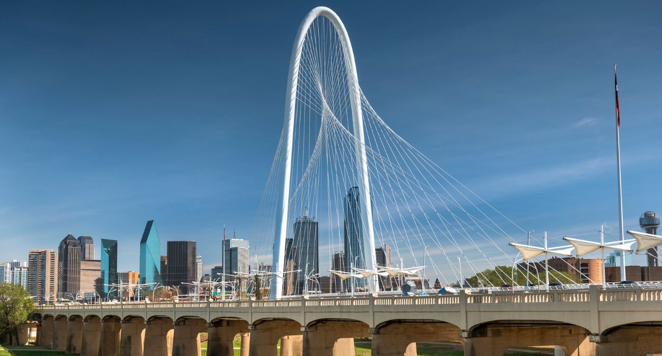
Numerous school closures have already been announced for the Dallas-Fort Worth area. A full listing can be found on the NBC DFW website.
4 p.m.
Allison Prater, a meteorologist with the National Weather Service in Fort Worth, told The Dallas Express that the worst impacts due to the winter storm will be in the northwestern portion of the metroplex.
These winter conditions are expected to continue until late Wednesday afternoon.
Temperatures will rise above freezing on January 2 with highs rising into the 50s.
“We’re gonna have more significant ice accumulation expected tonight into Tuesday morning,” said Prater. “Road conditions are expected to deteriorate over the day and then we’ll have another round or two of winter precipitation through Tuesday night into Wednesday,” she continued.
1:30 p.m.
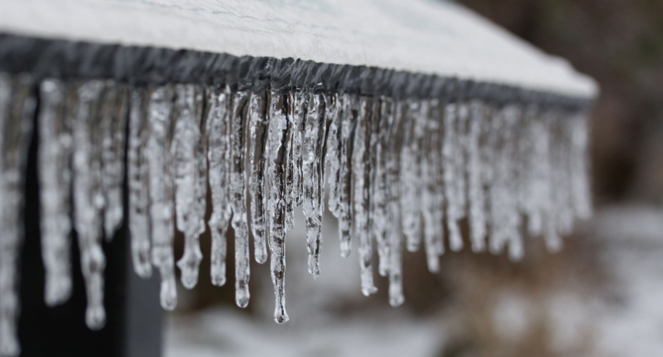
A cold front that moved into the area Sunday afternoon has brought freezing temperatures, in the low 30s and 20s, to North Texas.
Over the weekend, the National Weather Service in Fort Worth predicted sub-freezing temperatures with the possibility of freezing rain and accumulating ice across the metroplex this week.
This new weather system arrived weeks after a historic winter storm brought arctic temperatures to the state over the Christmas holiday, as previously reported by The Dallas Express.
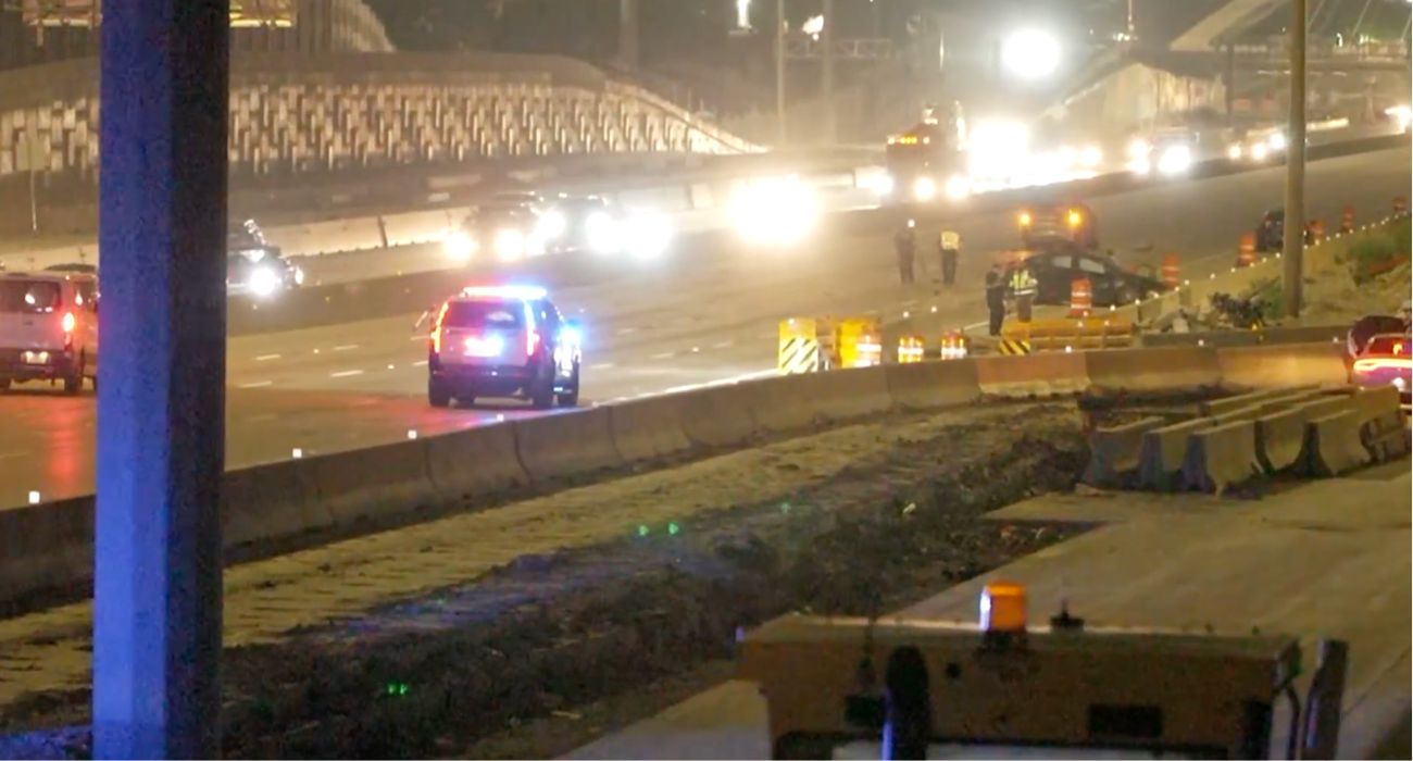
The NWS reported at 11:54 a.m. on January 30 that freezing rain and sleet were beginning to develop across the metroplex. This icy accumulation is predicted to cause hazardous conditions on bridges and roads, making for a difficult afternoon commute for many in the metro area.
Conditions are expected to worsen throughout the day, with the most widespread travel impact occurring during the morning hours of January 31.
Weather officials warned that drivers who must travel in these conditions should be wary of black ice on the roads and should proceed slowly and cautiously.
“We cannot stress this enough, please slow down and take your time if you are on the roads underneath these storms of sleet and freezing rain,” the NWS tweeted at 12:35 p.m.
Weather officials predict temperatures will rise above freezing, with freezing rain transitioning to cold rain, on February 2.