
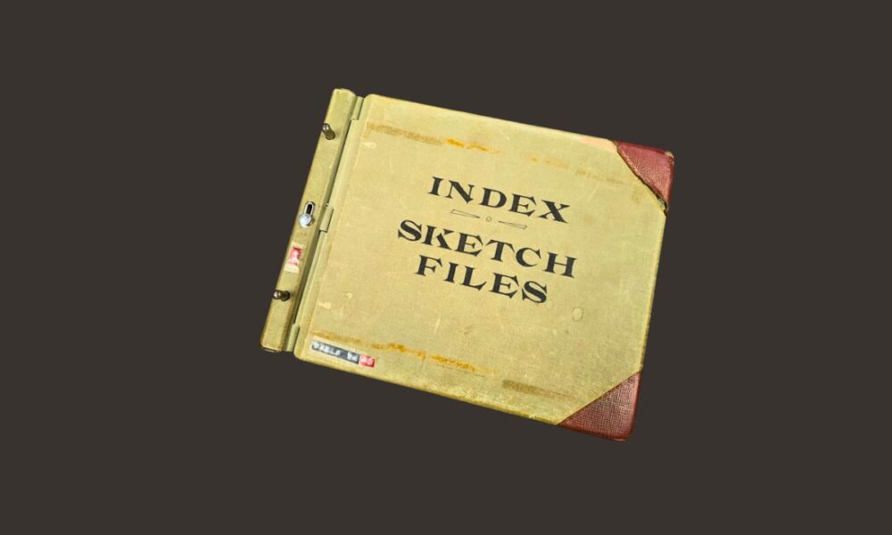
The Texas General Land Office (GLO) has completed a three-year digital overhaul of its most extensive historical map collection, making more than 8,000 surveying documents accessible online for the first time.
Texas Land Commissioner Dawn Buckingham announced Thursday that the GLO Sketch Files collection now features a comprehensive digital index covering records from the 1830s to the present.
The digitization effort transforms how surveyors, researchers, and history enthusiasts can access crucial Texas boundary and surveying records that have shaped the state’s development for nearly two centuries.
“As a proud ninth generation Texan, I am honored to be a steward of our state’s rich history which has been preserved by the GLO since its founding in 1836 through the preservation of thousands of precious records, maps and documents,” Buckingham said.
The collection contains 8,122 unique documents, including surveyor sketches, field notes, correspondence, and court judgments related to original land surveys.
Archives staff spent nearly three years modernizing the massive collection while adding crucial metadata such as alternate titles, contributors, and dates to aid in locating specific documents. The collection remains active, with surveyors continuously submitting new materials to the GLO’s Surveying Services Division.
Buckingham praised the Archives and Records Division for “bringing this vital collection into the 21st century, making it easily searchable for surveyors, researchers, and Texas history enthusiasts.”
The digital index represents the GLO’s latest effort to modernize historical preservation. Buckingham, who became Texas’ first female Land Commissioner in 2022, has previously announced pre-sales for historical map books, including “Texas Takes Shape” and the “Alamo Defenders Heritage Map of Texas.”
The digitized Sketch Files Collection Index is now available as a free PDF download through the GLO’s historic Texas maps website.