

Gov. Greg Abbott activated additional state emergency response resources on Monday and held a severe weather briefing at the Texas State Emergency Operations Center in Austin, urging residents to monitor forecasts, avoid flooded roads, and follow local officials’ instructions. The Operations Center began round-the-clock operations at 7 a.m. on Tuesday.
According to the National Weather Service, the system began affecting Far West Texas on Tuesday and is expected to spread across much of the state through midweek. The threat of significant flash flooding is forecast to shift into North-Central Texas on Wednesday.
North Texas Outlook and Flood Watch
North Texas will stay hot and grow increasingly unsettled through midweek, with the greatest flooding threat expected from Wednesday afternoon through Thursday afternoon.
- Tuesday: Mostly sunny with a high near 93°F. Heat index values could reach 97. South-southeast winds 10–15 mph with gusts up to 25 mph. Clouds increase overnight; low around 76°F.
- Wednesday: Partly sunny, high near 94°F, heat index up to 102. A 30% chance of showers and thunderstorms mainly after 4 p.m., rising to an 80% chance Wednesday night. Overnight low around 75°F; rainfall of one-half to three-quarters of an inch possible.
- Thursday: Most widespread rainfall expected, with a 100% chance of showers and thunderstorms and a high near 84°F. Some storms may produce heavy rain. Thursday night remains wet (90% chance); low around 70°F.
- Friday: An 80% chance of showers and thunderstorms continues; high near 81°F.
- Weekend into Monday: Rain chances gradually decrease — 50% Saturday, 40% Saturday night and Sunday (high near 79°F), then 20% Sunday night and Monday. Monday is expected to be mostly sunny, with a high temperature near 79°F.
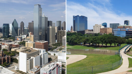
The National Weather Service Fort Worth office has issued a Flood Watch from Wednesday afternoon through Thursday afternoon for portions of North and Central Texas, primarily along and west of Interstate 35. The watch includes Dallas, Fort Worth, Arlington, Denton, Frisco, McKinney, Plano, Waco, Weatherford, Cleburne, and surrounding communities.
Slow-moving thunderstorms could produce 2 to 5 inches of rain during the watch period, with locally higher amounts possible. Excessive runoff may cause flooding along rivers, creeks, streams, low-lying areas, and flood-prone locations; low-water crossings could become dangerous or impassable.
State Resources Ready
At Abbott’s direction, more than 1,900 state responders and more than 1,500 pieces of equipment are available. Resources include swiftwater rescue teams, high-profile vehicles, helicopters, rescue boats, and emergency medical teams. The Texas National Guard has personnel and high-profile vehicles ready to assist stranded motorists, plus Black Hawk helicopters for potential water rescues.
Texas Parks and Wildlife Department game wardens, rescue boat crews, and helicopters with hoist capabilities are prepared to help, as is the Department of Public Safety with highway patrol troopers, helicopters, and its Tactical Marine Unit.
Supporting agencies also include the Texas Division of Emergency Management, Texas Department of Transportation, Texas Emergency Medical Task Force, Texas A&M Forest Service, Texas A&M AgriLife Extension Service, Public Utility Commission, Railroad Commission, and Texas Commission on Environmental Quality.
Safety Guidance
Texans are encouraged to assemble emergency supplies, review family communication plans, and monitor local weather conditions. Never drive or walk through floodwaters; even relatively shallow, fast-moving water can sweep away vehicles and people. Residents in flood-prone areas should watch for updated forecasts and be ready to act if Flood Warnings are issued. Drivers should never attempt to cross flooded roads or low-water crossings.
The state is also monitoring increased wildfire danger in East Texas and extreme heat conditions expected in South Texas. Residents can check road conditions at DriveTexas and find severe weather and flood preparedness information through TexasReady and TexasFlood.