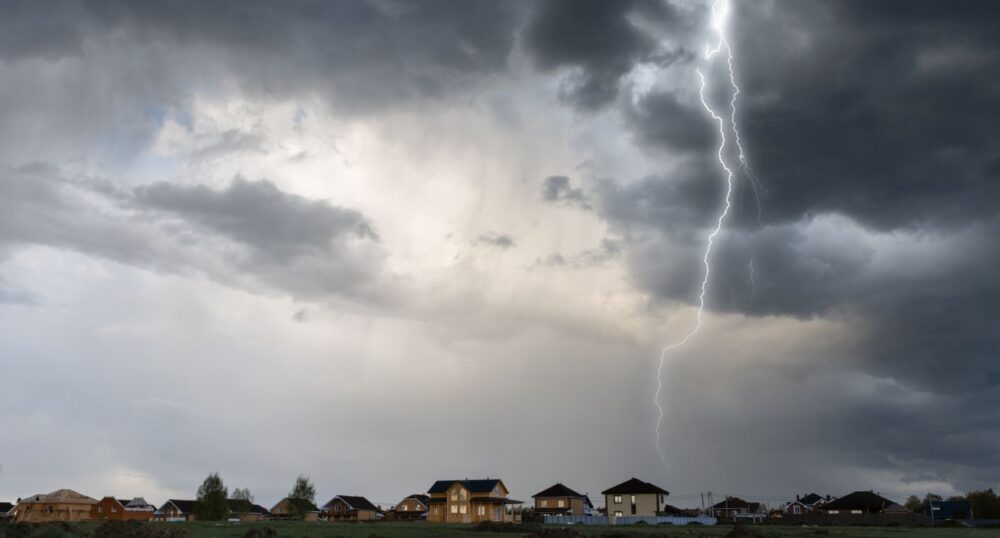
Severe and potentially hazardous weather is on its way to Dallas and other parts of the state.
Thunderstorms are forecast to develop in West Texas Thursday evening before moving into North Texas. Precipitation and other severe weather will remain until Wednesday. While there will likely be short periods of dry weather, it might be wise to check the forecast before heading out.
Strong winds, lightning, and hail are possible early this evening, mainly in northwestern North Texas. Hazardous conditions are expected to persist through the weekend into next week in North and Central Texas, with the National Weather Service stating that “All modes of severe weather are possible” Friday through to Wednesday.
Flash flooding along the Red River could occur on Saturday evening as a result of the heavy rain. Conditions could be made worse, with the grounds in North Texas already saturated by recent precipitation.
The threat of flooding will move into East Texas on Sunday.
Dallas is not expected to see rain until Friday. Once it does, however, it is forecast to remain well into the following week. Showers could start as early as four a.m., with severe storm conditions possible and wind gusts up to 40 mph.
Rain will taper off Friday night, and the wind will soften slightly. Conditions will be more of the same for the remainder of the weekend: rain and wind.
Winds will slow to 10 mph come Monday, but the potential for thunderstorms will linger until Wednesday.
The upcoming storm comes in the wake of last Saturday’s downpour in North Texas, which resulted in flooding, car crashes, and flight delays. The Dallas area was hammered with heavy rainfall, resulting in tens of thousands of residents losing power.