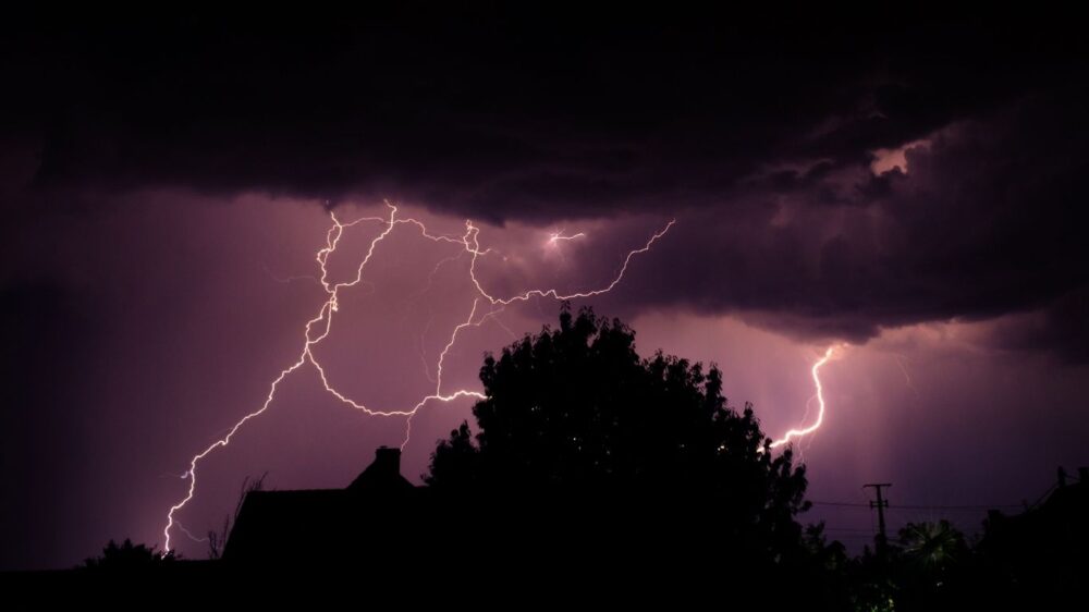
Severe thunderstorms are forecast to sweep across North Texas midweek, with the greatest risk of large hail, damaging winds, and isolated tornadoes arriving Tuesday afternoon and evening.
The week begins warm and breezy on Monday, with highs in the low 80s under partly cloudy skies. Morning showers may linger in eastern counties before rain chances increase substantially the following day.
An upper-level low-pressure system shifting westward will trigger scattered storms across the region on Tuesday afternoon. Some could turn severe in the Dallas-Fort Worth area, bringing large hail, damaging winds, and isolated tornadoes. Storms forming ahead of a dryline farther west carry a lower tornado risk but remain capable of large hail and strong wind gusts.
Uncertainty remains about the exact timing, with storms possibly developing later Tuesday evening along the dryline due to a lingering cap. Heavy rain could lead to localized flooding. Residents are urged to pay close attention to the weather on Tuesday and have multiple ways to receive warnings, especially near and after sunset.
A disorganized line of thunderstorms will track from west to east across North and Central Texas during the day on Wednesday. Overnight storms will exit to the east by Wednesday morning, followed by another round of scattered storms that afternoon as the main system moves overhead, potentially bringing hail. A few storms may intensify across parts of East Texas, producing isolated hail and damaging wind gusts.
All precipitation should be out of the area by late Wednesday evening.
Drier and more comfortable air will follow, with cooler highs in the mid-60s on Thursday. Sunshine returns Friday and Saturday, pushing temperatures back into the 80s. Drier and warmer conditions are expected to continue through the weekend.