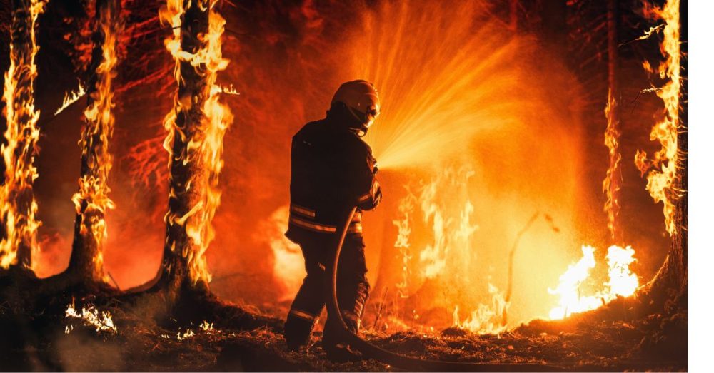
Wildfires are a big problem in Texas and across the nation.
Only months ago, Texas faced the biggest wildfire it has ever seen, burning more than 1 million acres. The fire was caused by a deteriorated utility pole that collapsed under its own weight and ignited dry grass, as reported by The Dallas Express.
California, which ranks second in wildfires after Texas, has also seen its fair share of wildfires, losing 1 million acres in 2020.
As recently reported, insurance companies are on a mission to see changes in the way homes are built. They are using fire-resistant designs to stop the spread and damage of wildfires, which could result in the biggest overhaul of building standards in decades.
What if there was another way to minimize the damage from wildfires?
Researchers at the University of Southern California are using AI to predict the movement of wildfires, making it possible to get to the next target before they do and stopping them in their tracks. Here’s the start of the story:
Researchers at USC have developed a new method to accurately predict wildfire spread. By combining satellite imagery and artificial intelligence, their model offers a potential breakthrough in wildfire management and emergency response. Detailed in an early study proof published in Artificial Intelligence for the Earth Systems, the USC model uses satellite data to track a wildfire’s progression in real-time, then feeds this information into a sophisticated computer algorithm that can accurately forecast the fire’s likely path, intensity, and growth rate.
The study comes as California and much of the western United States continues to grapple with an increasingly severe wildfire season. Multiple blazes, fueled by a dangerous combination of wind, drought and extreme heat, are raging across the state. Among them, the Lake Fire, the largest wildfire in the state this year, has already scorched over 38,000 acres in Santa Barbara County.
“This model represents an important step forward in our ability to combat wildfires,” said Bryan Shaddy, a doctoral student in the Department of Aerospace and Mechanical Engineering at the USC Viterbi School of Engineering and the study’s corresponding author. “By offering more precise and timely data, our tool strengthens the efforts of firefighters and evacuation teams battling wildfires on the front lines.”


